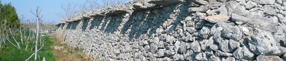
Preparatory actions cover everything that needs to be done before the implementation of the project actions proper. This includes mapping the infestation, drawing up technical documentation (e.g. the eradication action plan) and the questionnaire for landowners, as well as any other indispensable procedures (e.g. personnel training).
A. altissima mapping
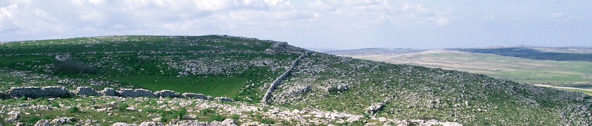
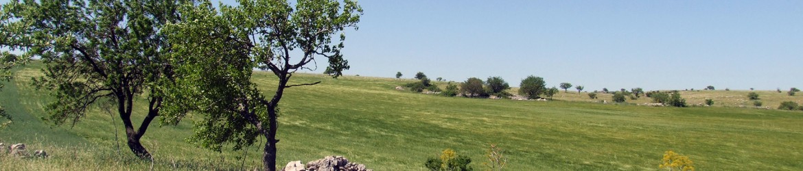
Census and Mapping
The census phase consists in identifying and recording all Ailanthus altissima plants and infested areas within the boundaries of the Park. The census, carried out by the State Forestry Corps (or CFS), ISPA and the Alta Murgia National Park, provides an exact measure of the spread and distribution of this species. Mapping the infestation is of fundamental importance and is the first step in directly eliminating invasive flora. The types of natural habitats involved will be carefully considered in order to prioritize interventions. Under the LIFE Alta Murgia project, a software package has been developed for managing the entire pest species control programme, including census and mapping work, treatments, monitoring and inventory data. The APIS-MapS software was designed and developed in a close partnership between researchers from ISPA and the private company APIS-Apulia Intelligent Systems. This application provides the basic support for the entire project, and throughout the Ailanthus control/eradication programme in the Park. The software was designed to meet the specific needs of each project phase: census of infested areas , treatment phases, and results monitoring.
As of today, the mapping has been completed and the result is an interactive map in electronic format. More than 650 infested areas have been counted.
Software function and functionality
The APIS-mapS software is an invaluable tool for managing weed and invasive plant monitoring and control operations. Indeed, even in offline mode, it can be used to carry out large-scale census mapping of individual plants – or areas of infested plants – of a given invasive plant species (in this case Ailanthus) within an area of study (in this case the Alta Murgia National Park) and can also handle the subsequent phases, such as censusing and monitoring the effects of the treatment. The package uses the free application Google Earth® due to its powerful capacity to display and customize maps. This makes it possible to capture, geo-reference, store, categorize and quantify a great deal of information about plants and infested areas, treatments performed, and the monitoring of effects. The software operates on raster maps or vector images acquired by satellite and also uses maps containing characteristics of the study area (e.g., natural habitats, zoning, boundaries, etc.). The software has a graphical user interface and an extremely simple wizard that facilitates data entry and displays error messages when incorrect operations are performed. Data on plant size, density and uniformity in the infested areas, the presence and the number of plants with fruits, the location and the relative ease of access and property, the type of technique used for the treatment, its effects, and so on. The mapping information can be acquired and collected by a maximum of eight teams operating simultaneously and also from different organizations or institutions. All data are stored on a shared master map that contains both the overall daily activities completed by the teams involved and the history of all previous activities from all the different phases. The map is stored in the cloud and is accessible to all the teams involved and partners in different locations. The software interprets the information collected in the map and translates them into specially created graphic indicators (pins and areas characterized by specific symbols and/or colours) useful for quick viewing, analysis and interpretation of data. The maps can be interrogated through filters (queries) on all the parameters entered, generating layers.
Questionnaire to landowners and farmers
A questionnaire addressed to the owners of land, businesses and farms falling within the park was prepared and distributed to assess the presence of Ailanthus on inaccessible private property. The questionnaire is dowloadable from the park website, and is delivered directly to the people involved in their companies to be completed and signed in order to ascertain the presence and the exact extent of infestations in areas with no easy access, such as fenced areas and to request consent for access to the property and for the treatment of plants by project staff. The questionnaire asks the owners whether they would want to use the wood resulting from cutting the plants or if whether they wish to have it removed. The package contains an informational section which outlines the characteristics of invasiveness and the dangers posed by Ailanthus. As part of the mapping, the data obtained relating to infestations in private areas will be integrated with those from the rest of the park. The leaflet containing the questionnaire will also be distributed at events such as seminars and meetings and will remain available even after the end of the project so that any emergence of newly infested areas can be monitored. Several questionnaires have already been compiled, and plenty more are expected.
Eradication action plan
The Eradication Action Plan is a document that provides all the key information on the strategy for controlling and eradicating Ailanthus from the Alta Murgia National Park. It describes in detail all the technical aspects involved, such as eco-friendly treatment techniques (endotherapy, injection, cutting and brushing, decortication with sponges), the means used, the intervention criteria (based on the priority of treatment for plants going to seed, and most vulnerable habitats), herbicide, protocol, disposal of logs, etc. The Eradication Action Plan was designed on the basis of the target species’ characteristics, on the type of infestation and the environments. It has been officially approved by the Park.
Technical personnel training
The training of technical personnel involves all partners in the project and covers the main themes of the project, such as mapping and use of the APIS-mapS software, carrying out treatment, monitoring and evaluation of results and all aspects to which they are connected. The training days are held in the office or in the field, depending on the opics. Theoretical training on the use of mapping software has already taken place and followed by a practical demonstration in the field.
Processing techniques has been presented before the start of direct interventions on the weed while techniques for monitoring the effects and symptoms has been be taught after the subsequent vegetative flush.